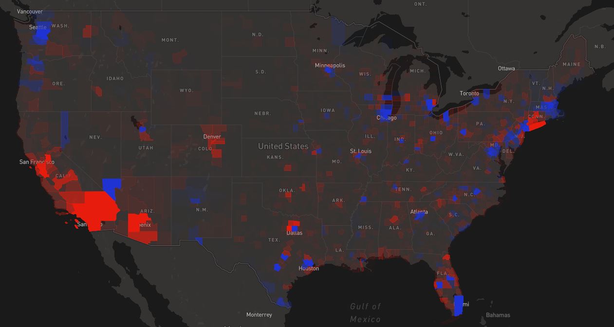
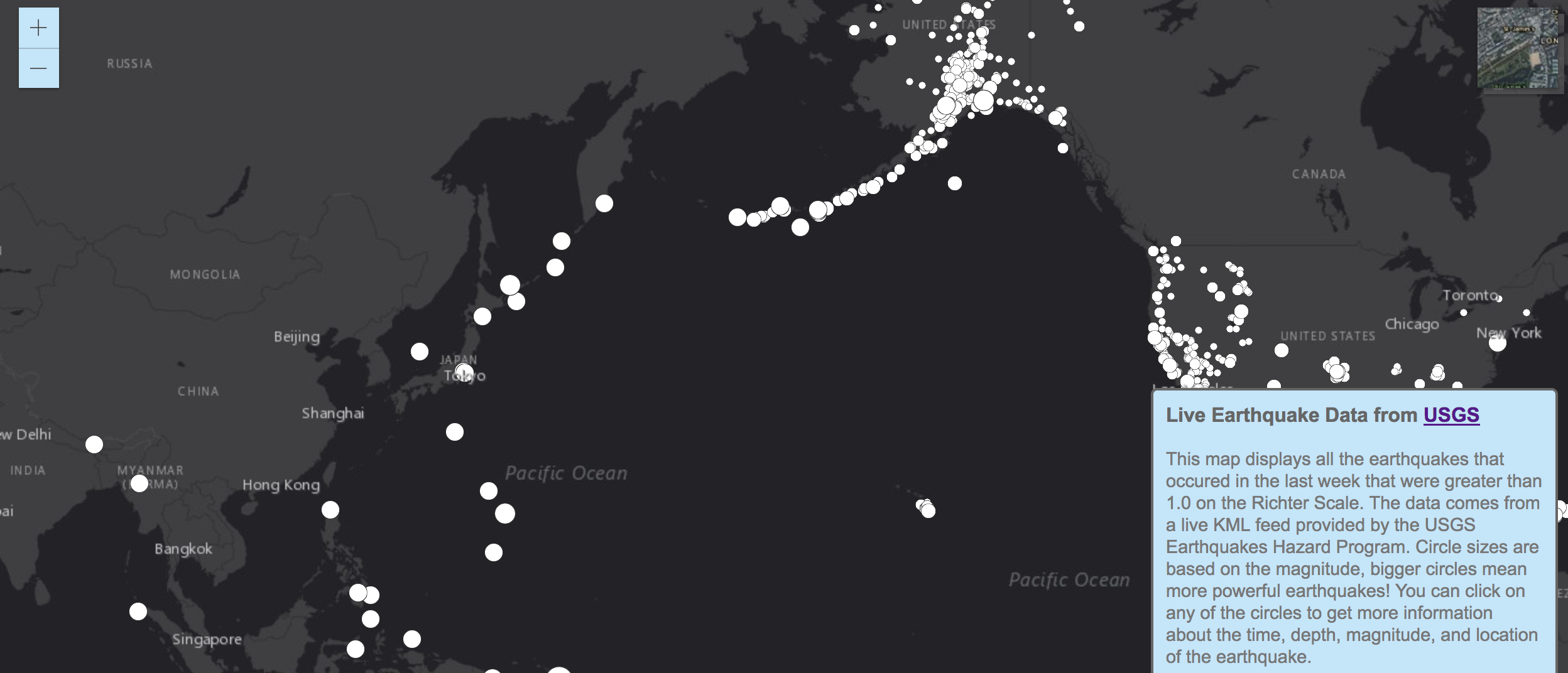
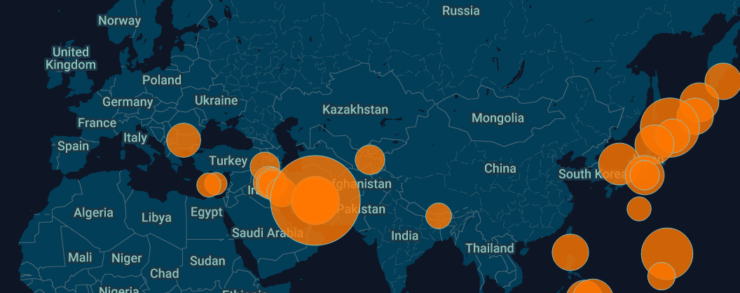
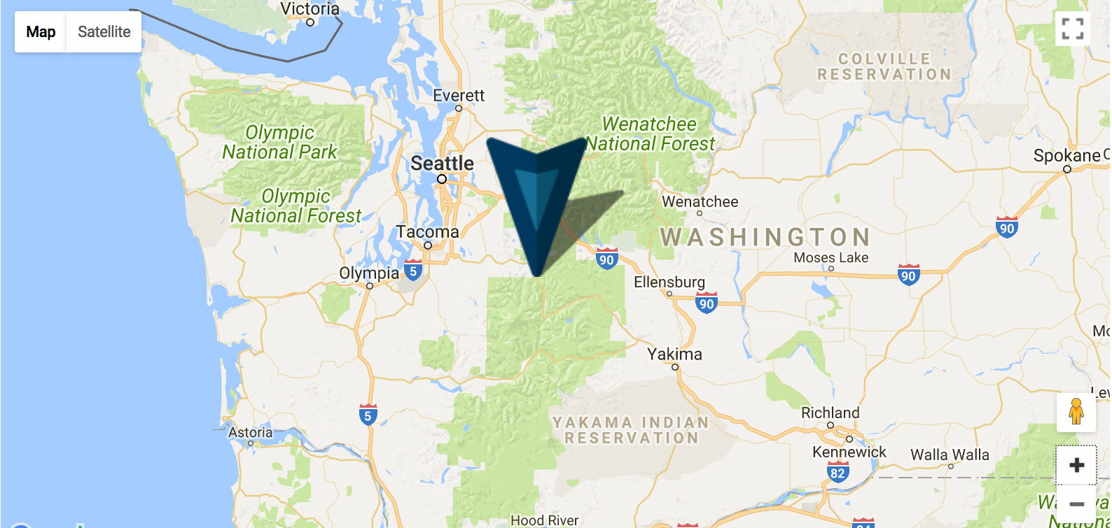
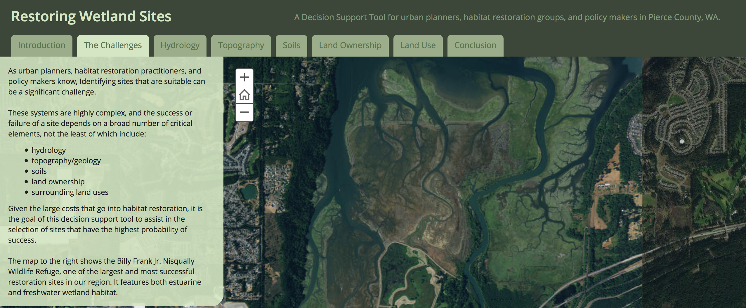
Map Portfolio

A selection of map projects I have worked on.

aerial photo of landscaped roundabout

Proven GIS Experience.

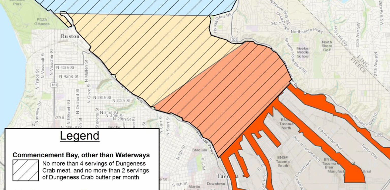
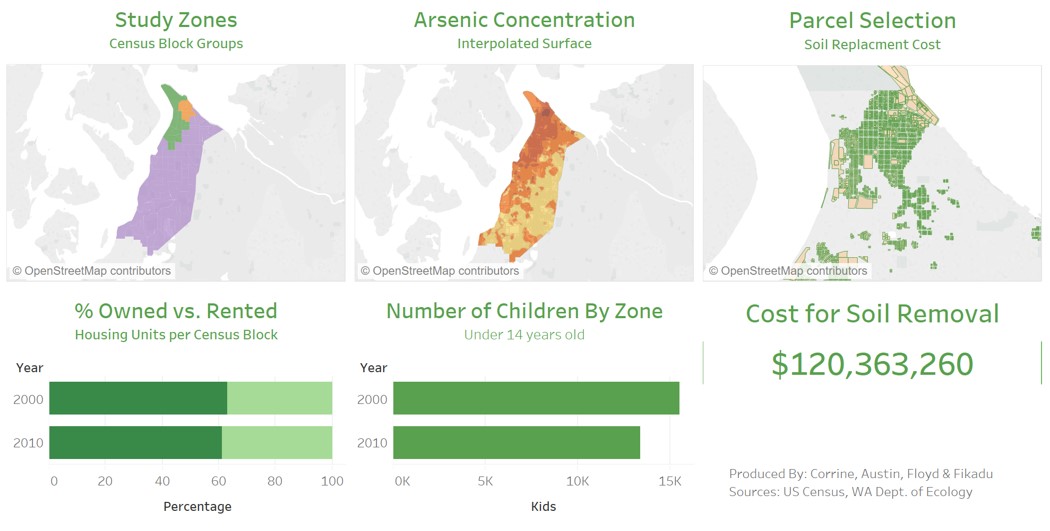
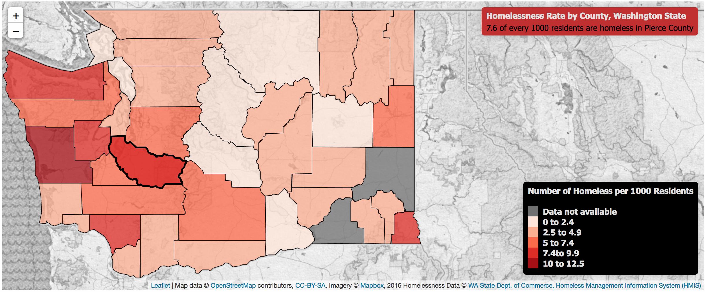
Below are a few of the more notable map projects I have worked on. Some of these were done while working as an Environmental Health Specialist at Tacoma-Pierce County Health Department. Others are projects from my Masters Degree courses: Web-based GIS, GIS Customization and Automation, Urban and Environmental Planning Applications, Mobile Geospatial Application Development, and my Capstone Practicum.

dark background map with election results by county

Election Map

Here, I built a bivariate choropleth map, inroducing a third variable using value-by-alpha. You can learn more by reading the splash page.

map of commencement bay fishing advisory areas

Printed Advisory Map

At Tacoma-Pierce County Heatlh Department, I often develp communication materials. This example includes a simple map I created using Esri's ArcGIS Desktop. The purpose of the map was to convert narrative advisory language into an easy-to-read graphic.

Tableau data dashboard with maps and figures

Environmental Planning Project

I worked with a team of 3 other students on a quarter-long environmental planning and application project. We focused on conducting remote sensing and data interpolation to develop a decision-support tool related to the Tacoma Smelter Plume cleanup effort for policymakers.

light colored map background with counties colored by density of homelessness

Leaflet API Choropleth Map

Created from scratch using open data, QGIS, GeoJSON object layers, and Leaflet's JavaScript API.

Thumbnail of a dark colored map of the Pacific Ocean, with circles representing earthquakes from the last week

Live KML Data in Esri's ArcGIS JS API

This third map also displays live earthquake data, but was created by layering KML data on a map made in Esri's ArcGIS JavaScript 4.5 API. This API provides some different functionality than the Google API, and allows for different rendering of the same KML Data as seen above.

screenshot of live earthquaqe data around Europe and Asia

Linking Live GeoJSON Data with Google Maps API

This map displays live earthquake data as well, but uses a different format called GeoJSON. This format allows for more customization of symbols, which I coupled with Google's API Map Style Wizzard to create a more visually appealing map.

screenshot of google maps centered over greenwater, WA

Google Maps APIs

Here I embedded a Google Map and used the JavaScript API to overlay point data and a custom location pin.

screenshot of esri story map

Esri Story Maps

For my final lab in my Web Mapping course, I developed a Decision Support Tool for urban planners and policy makers that aids in the selection of wetland restoration sites. Using Esri's Story Map builder, I walk users through a variety of interactive maps that allow them to explore relevant GIS data, while providing narrative information to help guide decision making.

Embedded Maps and Website Building

Here, I built my very first website from scratch, including an iframe-embedded Google Map.

screenshot of USGS earthquake data around the United States

Linking Live KML Data with Google Maps API

This map displays live earthquake data from the USGS Earthquake Hazards Program website in Keyhole Markup Language (KML) format.